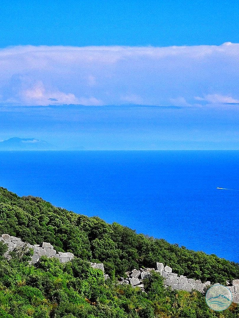
The Acropolis, built in one of the most fascinating and evocative places on the promontory, began as a fortified citadel consisting solely of the marvellous and imposing Polygonal Walls, also called Cyclopean Walls because of their extraordinary origin, romantically wrapped in myth.
The Walls, running along the steep sides of the Mountain with a perimeter of 678 metres, enclose a trapezoidal area of over 18,000 m², with an average thickness of about 2 metres.
The position of the Acropolis, almost drawn on a natural platform overlooking the Tyrrhenian Sea, was chosen because it offered a privileged view over the Lazio coast both to the south, over the Gulf of Terracina, and to the north, towards the Pontine Islands and Anzio. This was one of the reasons why the city of Circeii was strategically important in southern Lazio from ancient times.
The main road leading to the Acropolis roughly follows today’s road which, from Piazzale San Francesco near the Historic Centre, climbs through a series of hairpin bends to the northern side of the defensive circuit, the best preserved, originally entering through the North Gate, the main entrance.
Of the North Gate, the two jambs survive, made of well-squared limestone blocks perfectly fitted together. In the lower part of the jambs, the side recesses for the door leaves are still clearly visible. The gate opening was at least 1.32 m wide and the walls here are 2.62 m thick.
On the north-eastern side, the remains of a minor gate or postern have also been found. In ancient fortification walls, the postern was a narrow entrance hidden along the walkways used by the patrolling guards, which could also serve as an emergency exit or entrance during a siege.
It is likely that a second road to the Acropolis led to this gate: climbing the steep slope along today’s Strada del Faro, it joined the south-eastern side of the defensive circuit at the postern.
The Acropolis thus began as a fortified place separate from the city of Circeii below, and its Polygonal Walls are “younger” than those preserved in the Historic Centre, which suggests they were built at the beginning of the 4th century, probably around 393 BC, when the “new” Latin-law colony of Circeii was refounded on the ancient one dating to the end of the 6th century BC, more precisely to the reign of Tarquin the Proud.
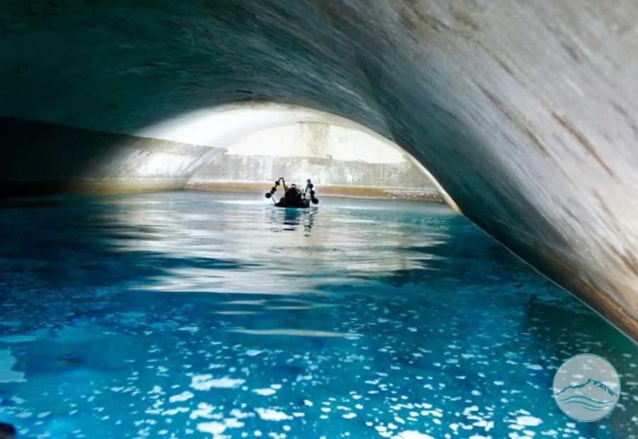
Within the well-defined circuit of walls there are no traces of dwellings, except for a tholos cistern for water supply, which would confirm the exclusively military use of the site. The cistern, buried almost up to the springing of the vault, is made of carefully squared, smooth blocks. The site must have been inhabited since very ancient times, as shown by the discovery, in the fill of the cistern, of a pottery fragment from the Iron Age. In recent years pottery from the same culture and period has also been found at Torre Paola.